Litho-stratigraphy vs. hydro-stratigraphy to inform flow models; insights from North America and Great Britain

Europe/Rome
Description


                                           Seminari IRSA-2024


Litho-stratigraphy vs. hydro-stratigraphy to inform flow models; insights from North America and Great Britain


GIACOMO MEDICI

Università di Roma La Sapienza


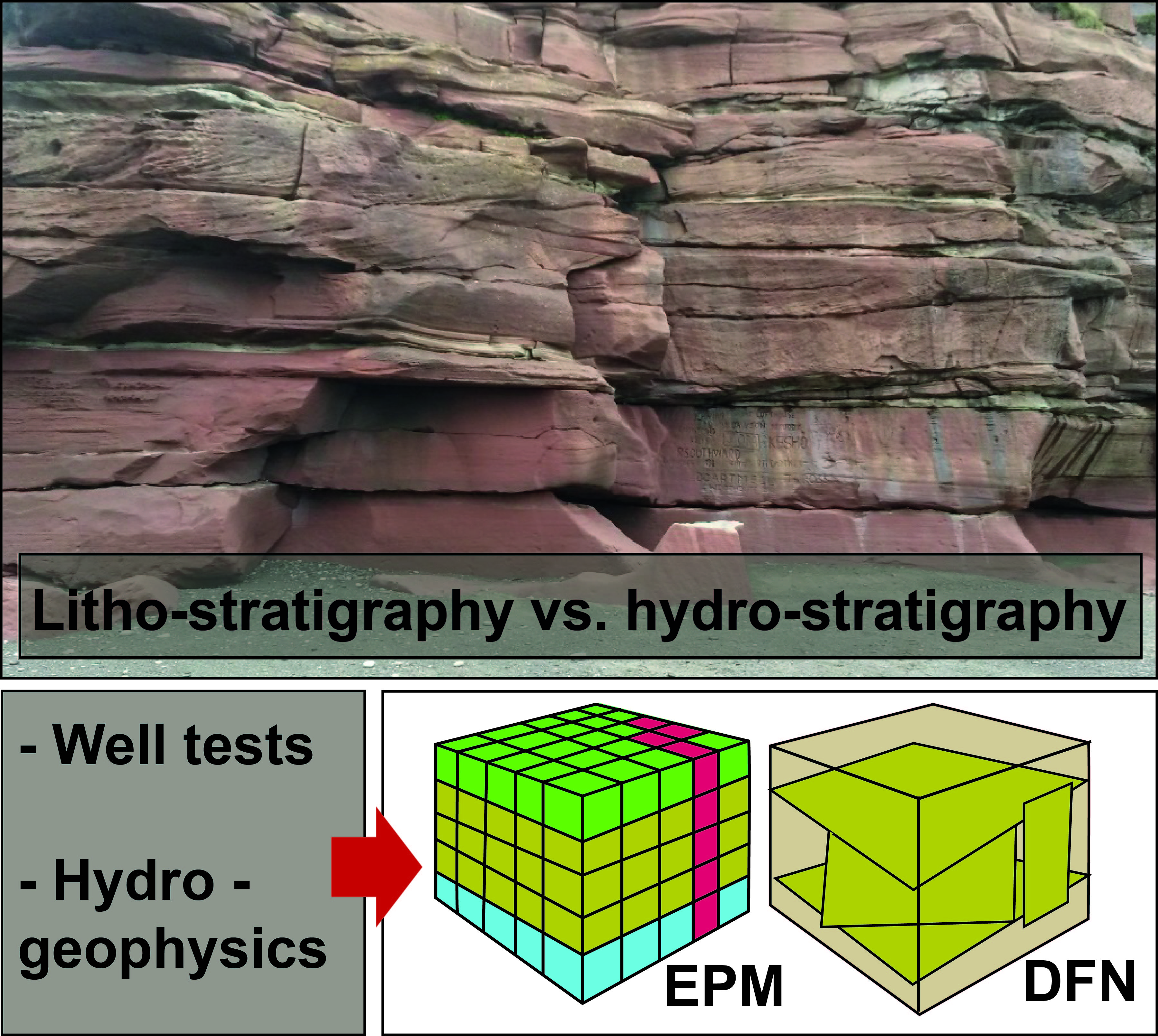
The hierarchical system of the litho-stratigraphic units (e.g., members, formations, groups and super-groups) have long been used to define the hydraulic units to inform the conceptual models that are translated into numerical models of groundwater flow in fractured rocks. Collection of (i) fracture data with high intensity using scanlines, (ii) hydraulic tests (slug, packer and pumping tests) and, (iii) innovative high resolution hydraulic head profiles (e.g., Westbay, FLUTe technologies) have revealed a misfit between litho-stratigraphic (members and formations) and effective hydraulic units in the fractured bedrock aquifers of either North America or Great Britain. This misfit has been verified at different spatial scales in terms of areal extension and depth of investigation. All these datasets have been collected in the continental platforms of Michighan, Minnesota and Ontario and areas affected by extensional tectonics in northern England in sandstones, dolostone and limestones. These lithologies are present in the Italian peninsula and they represent either productive aquifers or aquitards. It is noteworthy that large portions of the Italian territory are in fold and thrust belts (Appennines, and southern Alps), but the same lithologies are deformed by compressional and extensional tectonics. The applicability of the presented insights need therefore to be verified by either (i) performing new hydro-geophysical tests and numerical models of groundwater flow and contaminant transport or (ii) revising previous research in our country.


I partecipanti registrati riceveranno un link personale per connettersi mediante la piattaforma Teams.


Seminari IRSA-CNR
    • 11:30 13:00
      Litho-stratigraphy vs. hydro-stratigraphy to inform flow models; insights from North America and Great Britain 1h 30m